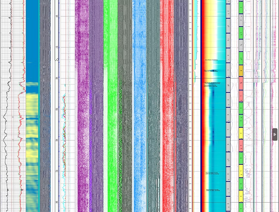
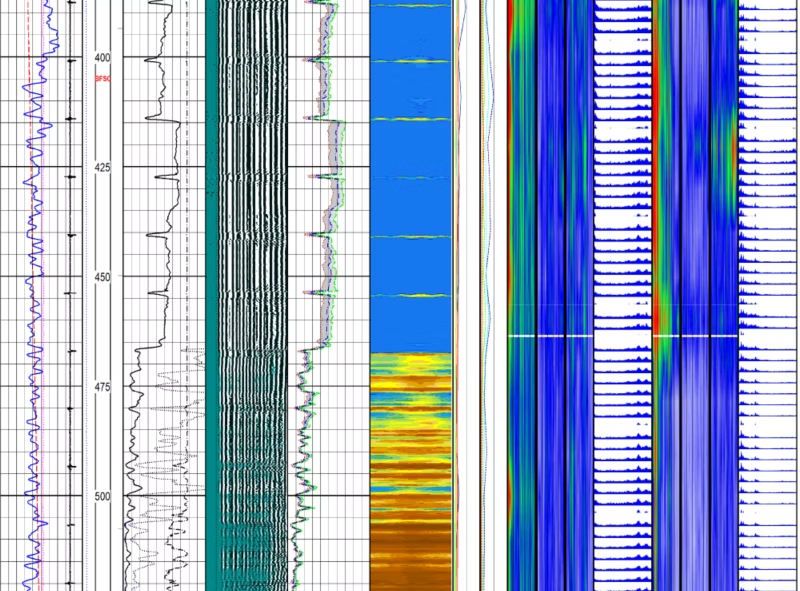
Multi-Casing & Multi-Barrier Cement and Casing Integrity Logging
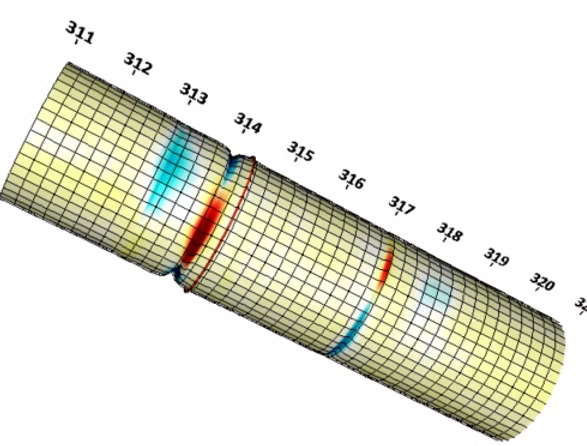
Multi-Casing & Multi-Barrier Cement and Casing Integrity Logging Reports
That Wireline Guy delivers multi-casing and multi-barrier cement and casing integrity logging to give you a clear, complete picture of your well. By analyzing both casing condition and cement performance across all barriers, we help identify issues early, support confident decision-making, and keep your operations running safely and in compliance with Alberta Energy Regulator requirements.
What We Evaluate
Multi-Casing Inspection Evaluation of multiple casing strings for corrosion, wear, and structural integrity.
Cement Bond & Barrier Analysis Assessment of cement quality and its effectiveness in isolating zones.
Zonal Isolation Verification Confirmation that formations are properly sealed and protected.
Barrier Integrity Assessment Review of all well barriers to ensure proper containment and safety.
Data Interpretation & Reporting Clear, actionable reporting to support operational decisions and regulatory submissions.
Our Other Technical Consulting Services
AER Directive 51 - Injection and Disposal Well Application Analysis Reports
Meet Alberta Energy Regulator requirements with clarity and technical rigor. We assess temperature and pressure data, hydraulic isolation, cement integrity, and overall well suitability to support new applications, amendments, and regulatory submissions.
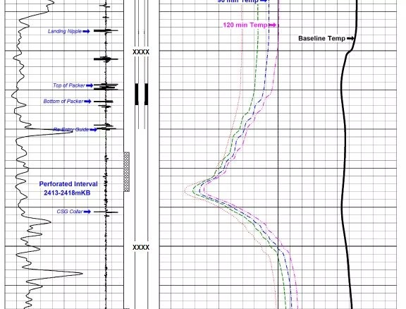
By using our advanced noise and temperature interpretation, combined with pressure behavior and historical well data, we identify gas flow pathways and distinguish between thermally induced effects and true integrity failures.
Cement Integrity Analysis gives you a clear picture of what’s happening behind your casing — before it becomes a costly problem. We identify weak bonding, channels, and potential leak paths so you can take action early, protect your well, and stay compliant
Know exactly what shape your casing is in before it becomes a problem. With Magnetic Casing Inspection (MCI) We help you to detect corrosion, metal loss, and wear across your well so you can act early and avoid costly failures. We deliver clear, reliable data you can trust
We consult with you to understand your project (utility expansion, trenching, remediation, infrastructure audit), farm in any drawings or existing records, and plan the survey lines appropriately.
We bring our GroundTEM equipment, set up transmitter/receiver loops or coils depending on depth and resolution required, trace survey lines across the target area and collect the raw data.
Back in base (or on-site where required) we process the TEM data, invert it, produce visual sections or 3D volumes showing subsurface features, anomalies, utilities, voids or geological boundaries.
We provide you with a professional report: summary of findings, maps showing the location of identified targets, recommendations for next steps (e.g., f, drilling, safe-excavation zones, etc.)
Modern Geo-Locating technology gives you clearer, deeper and more reliable information than older locating methods.
Instead of guessing or relying on outdated maps, our equipment scans the ground and shows what is actually there such as utilities, water, voids and changes in the soil.
It is faster, safer and more accurate than traditional tools which means fewer mistakes, fewer delays and more confidence before you start your job.
We use industry-leading TEM technology to map what’s below the surface with clarity and depth — so you can move forward with confidence, not guesswork.
Faster, More Efficient
Our mobile setup covers ground quickly without disrupting your operations, giving you clear answers in less time and helping keep your project on schedule.
Affordable Scanning
You get advanced geophysical mapping without the inflated price tag. We provide high-quality results at a cost that makes sense for real-world projects and budgets.
Our ABEM GroundTEM Ralli system can typically detect subsurface features up to 150–200 metres deep, depending on ground conditions and coil configuration. This gives us far greater reach than most traditional utility-locating tools.
Yes. Even though the system is mobile and can be towed by a quad, it still uses a high-current transmitter loop and a multi-turn receiver coil. This is how it sends and captures electromagnetic signals to generate a 2D or 3D picture of what’s underground.
Absolutely. The GroundTEM Ralli is specifically built for oilfield, rural, and uneven terrain. It can be deployed with a quad/ATV and is rugged enough for remote sites, cutlines, access roads, and non-paved locations.